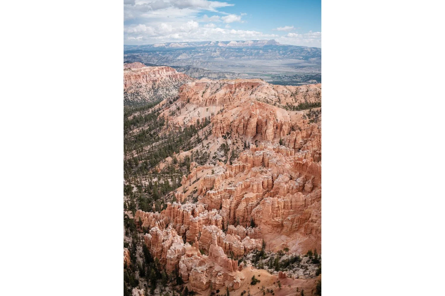
Our first introduction to Bryce Canyon National Park
Bryce Canyon National Park is a paradise for outdoor enthusiasts and a must-visit destination for anyone who loves camping and hiking. The park is known for its stunning red rock formations, sweeping vistas, and diverse array of plant and animal life. It is located in southern Utah and bordered by the Grand Staircase-Escalante National Monument to the west and Glen Canyon National Recreation Area to the north.
Where can I camp in Bryce National Park?
There are also a few campgrounds located within Bryce Canyon National Park: Sunset campground and North campground. Make sure to bring cash to pay for the camp site fees if you go during first-come, first-served period. We had to locate an ATM machine outside of the park to pay for our second night stay, which was very cumbersome.
Established Campgrounds
Sunset Campground
Sunset Campground is the largest and is located in the southern end of the park. The campground is open from mid-April to October and is first-come, first-served. The campground has 100 sites for tents or RVs (no electric hookups), a group camping area, and a horse campground with corrals. Reservations are available for group sites only (please check the link for the most up-to-date info). It’s near many hiking trails such as the Rim Trail, the Navaho Loop Trail, and the Queens Garden Trail.
North Campground
North Campground is located near the visitor center. It also has 100 campsites that can accommodate both tent campers and RVs. It is nearby a variety of hiking trails, including the easy Rim Trail, which offers stunning views of the canyon. There are also more challenging hikes, such as the Fairyland Loop Trail and Bristlecone Loop Trail. The campground has flush toilets and drinking water. Reservations are available however only in specific time window (please check the link for the most up-to-date info).
Dispersed Camping
There are also several backcountry campsites for those who want to truly rough it and get away from the crowds. Permits are required for backcountry camping, and campers must follow Leave No Trace principles to protect the natural surroundings.
What are the most famous hiking trails in Bryce Canyon National Park?
Hiking is a great way to experience the Bryce Canyon National Park. There are many different trails throughout the park, each offering something unique. Whether you're looking for an easy hike with a stunning view, or a challenging trek that will take you deep into the canyon, there's sure to be a trail that's perfect for you.
Some of the most popular trails in Bryce Canyon National Park include:
The Queens Garden Trail
It is a moderate hike that winds through the heart of the park, offering breathtaking views of the park's iconic hoodoos and spires. The trail begins at the Sunrise Point trailhead and descends into the canyon, passing by several of the park's most famous landmarks, including Thor's Hammer, the Queen Victoria hoodoo, and the Navajo Loop. The trail is approximately 2.2 miles (3.5 kilometers) round trip and takes about 2-3 hours to complete. While the trail is not particularly steep or strenuous, it can be slippery and rocky in places, so it's important to wear appropriate footwear and use caution. The Queens Garden Trail is a great option for hikers of all skill levels, and it's an especially good choice for families with children. The trail is well-marked and easy to follow, and there are plenty of opportunities to stop and take in the views along the way.
The Rim Trail
The Rim Trail is a multi-use trail that stretches for nearly 13 miles (21 kilometers) along the rim of the canyon, connecting several of the park's most popular viewpoints. The trail can be accessed at several points along the way, so you can choose to hike a shorter distance or do the entire trail in one day. One of the great things about the Rim Trail is that it's suitable for hikers of all skill levels. The trail is mostly flat and well-maintained, with a few moderate inclines along the way. There are plenty of opportunities to take in the views, and the trail is well-marked and easy to follow.
The Navajo Loop Trail
The Navajo Loop begins at the Sunset Point trailhead and descends into the canyon, following a series of switchbacks known as the Wall of Windows. As you make your way down the trail, you'll be treated to some of the park's most iconic views, including those of Thor's Hammer and the Queen Victoria hoodoo. The trail is approximately 1.3 miles (2.1 kilometers) long and takes about 2-3 hours to complete. It's a moderate hike that involves some steep and rocky sections, so it's important to wear appropriate footwear and use caution. One of the great things about the Navajo Loop is that it can be combined with the Queens Garden Trail to create a longer and more challenging hike. This combination trail, known as the Navajo Loop and Queens Garden Combo, is approximately 3.5 miles (5.7 kilometers) long and takes about 4-6 hours to complete.
Peek-a-Boo Loop Trail
The Peek-a-Boo Loop Trail is a moderate hike that begins at the Bryce Point trailhead and follows a series of switchbacks as it descends into the canyon. Along the way, you'll have the chance to see some of the park's most iconic landmarks, including the Natural Bridge and the Wall of Windows. The Peek-a-Boo Loop Trail is approximately 5.5 miles (8.9 kilometers) long and takes about 4-6 hours to complete. It's a moderately strenuous hike that involves some steep and rocky sections, so it's important to wear appropriate footwear and use caution. One of the great things about the Peek-a-Boo Loop Trail is that it can be combined with the Queens Garden Trail to create a longer and more challenging hike. This combination trail, known as the Peek-a-Boo and Queens Garden Combo, is approximately 7.7 miles (12.4 kilometers) long and takes about 6-8 hours to complete.
Other Activities
You can also explore the park on horseback, mountain bike, or by taking a guided tour.
If camping is not for you, you can lodge in Bryce Canyon City
Bryce Canyon City is a small town located just a few miles from Bryce Canyon National Park. The town is known for its stunning natural surroundings and is a popular destination for tourists and outdoor enthusiasts who come to explore the park's red rock spires and hoodoos, hike through the lush forests and meadows, and take in the breathtaking views. It has a population of just over 200 people, but has a lot to offer visitors. The town is home to a variety of restaurants, cafes, and shops, as well as a number of hotels and vacation rentals. You'll find everything you need to make your stay comfortable, whether you're in town for a day or a week. The town is surrounded by public lands, including the Dixie National Forest and the Grand Staircase-Escalante National Monument, which offer endless opportunities for hiking, biking, fishing, and other outdoor activities. In addition to its natural beauty, Bryce Canyon City is also home to a number of cultural attractions. The Bryce Canyon Natural History Association offers educational programs and guided tours of the park, and the town hosts a number of events and festivals throughout the year, including the Bryce Canyon Winter Festival and the Bryce Canyon Country Music Festival.
What are the views like in Bryce Canyon National Park?
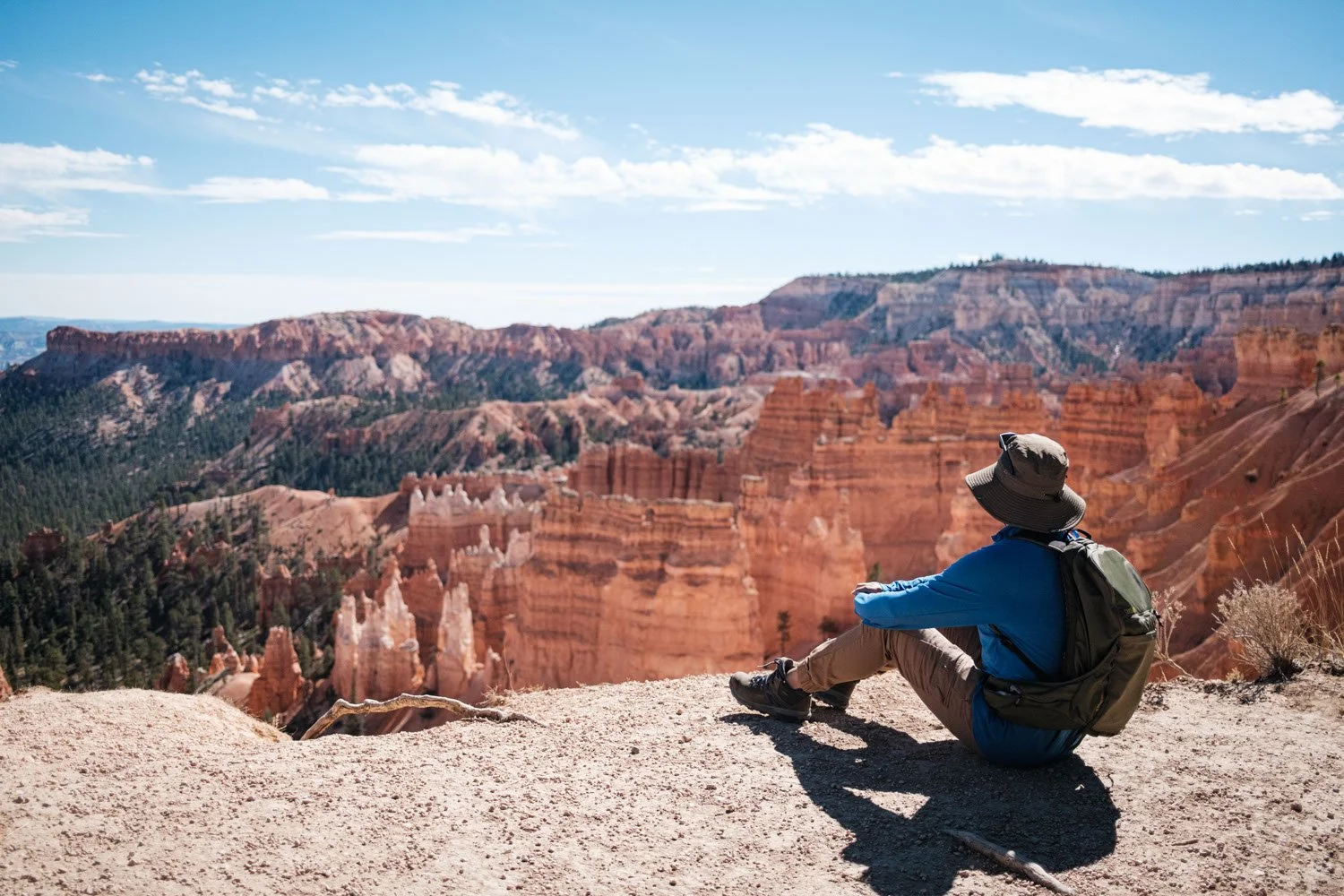
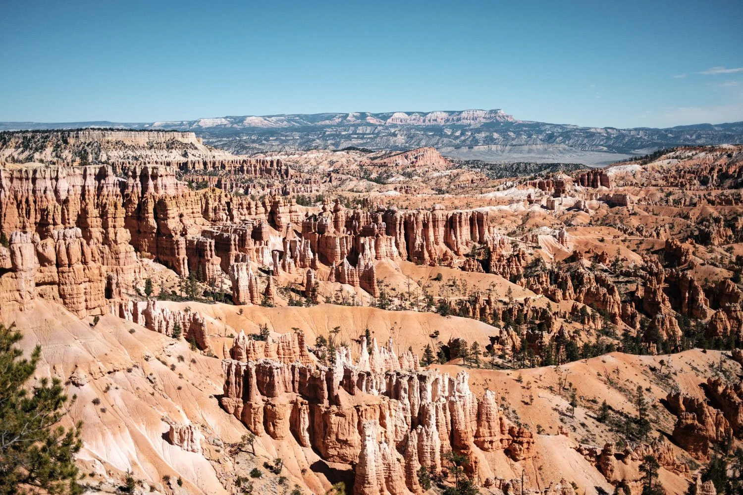
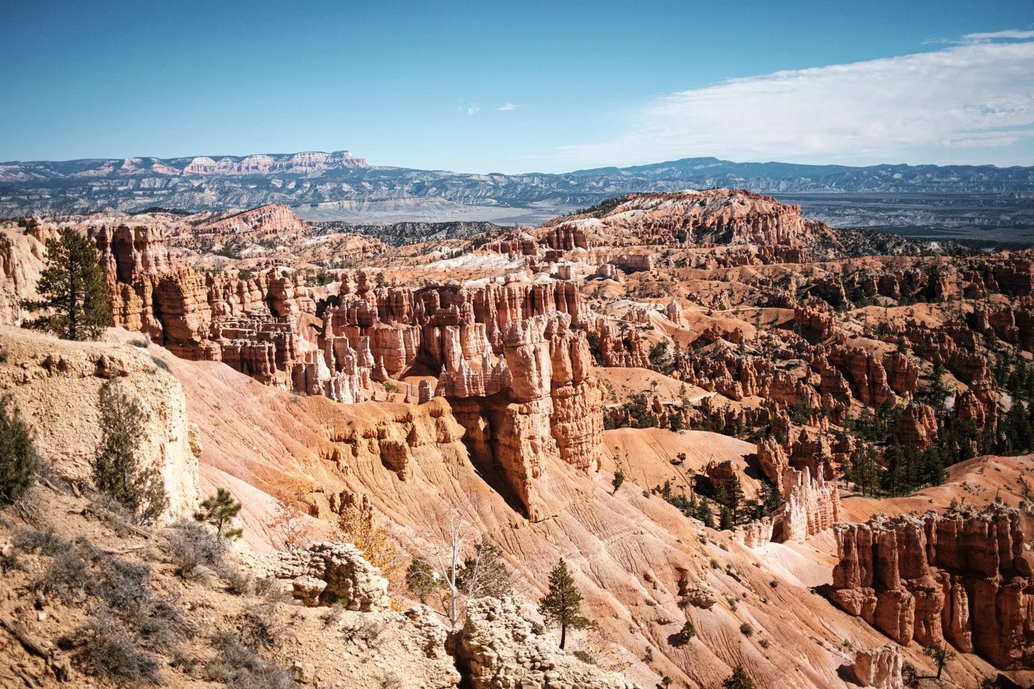
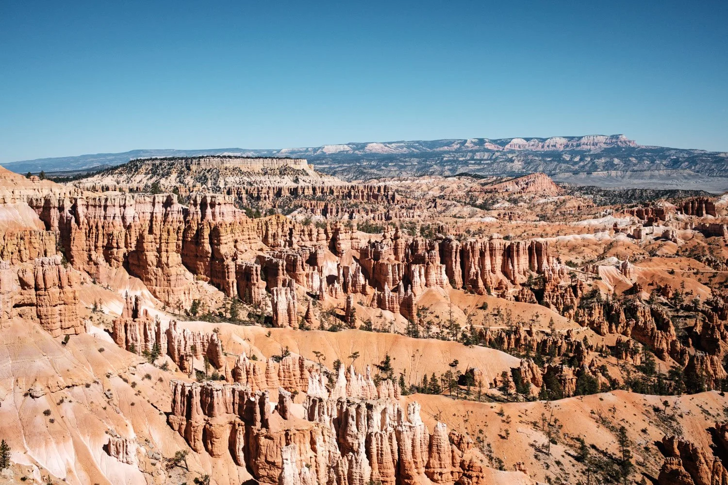
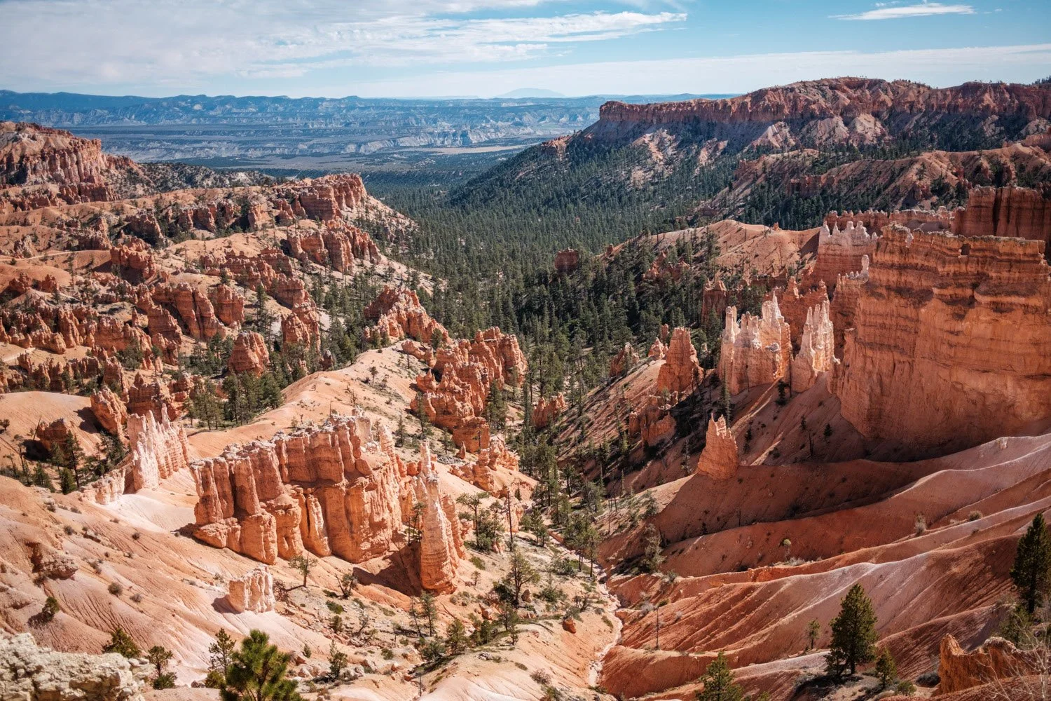
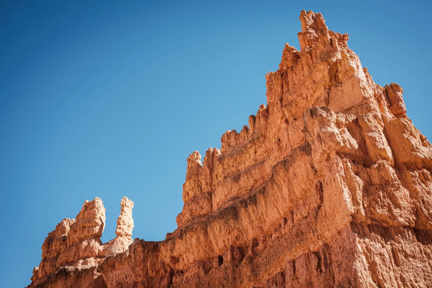
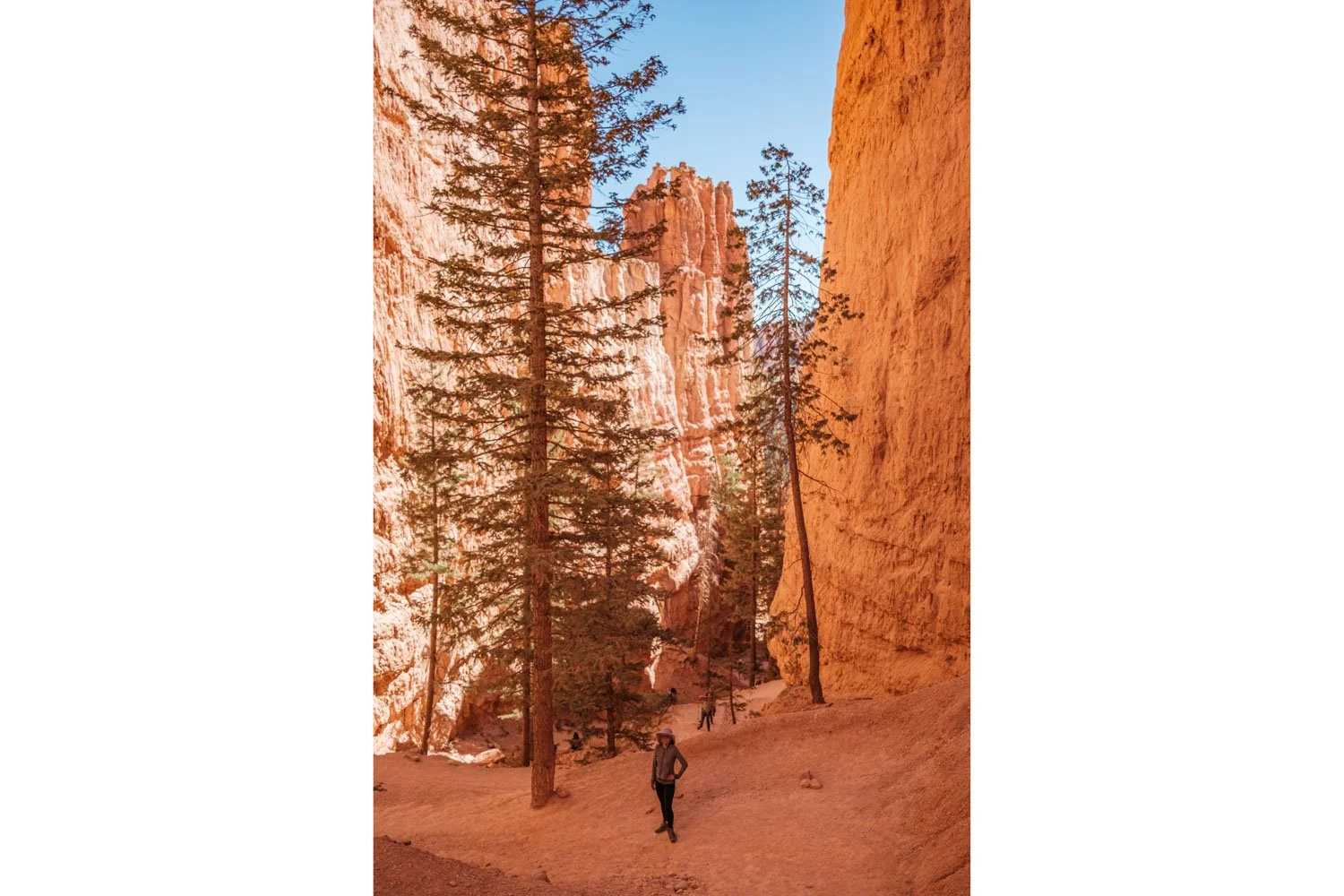
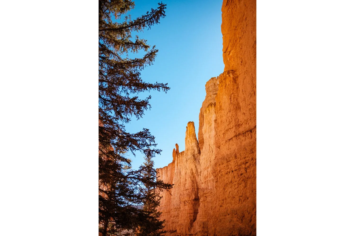
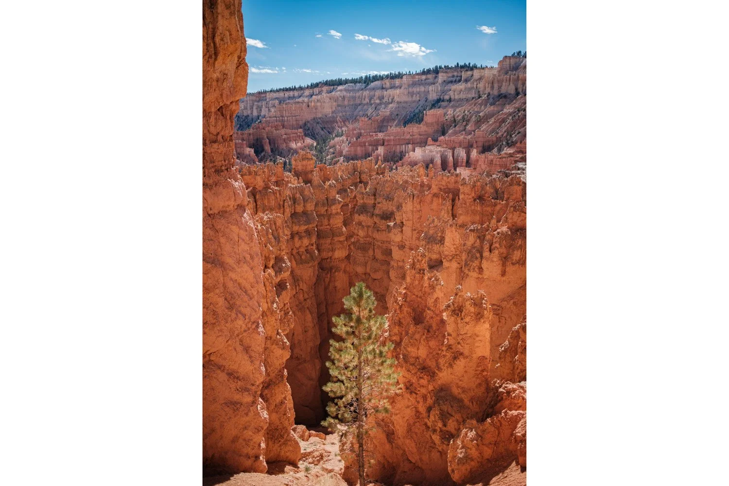
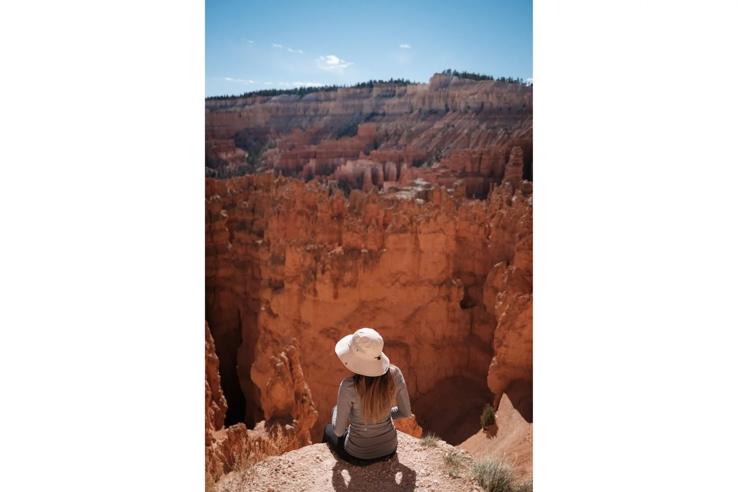
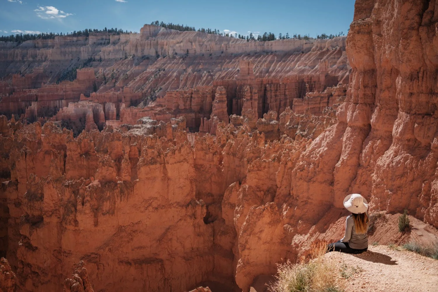
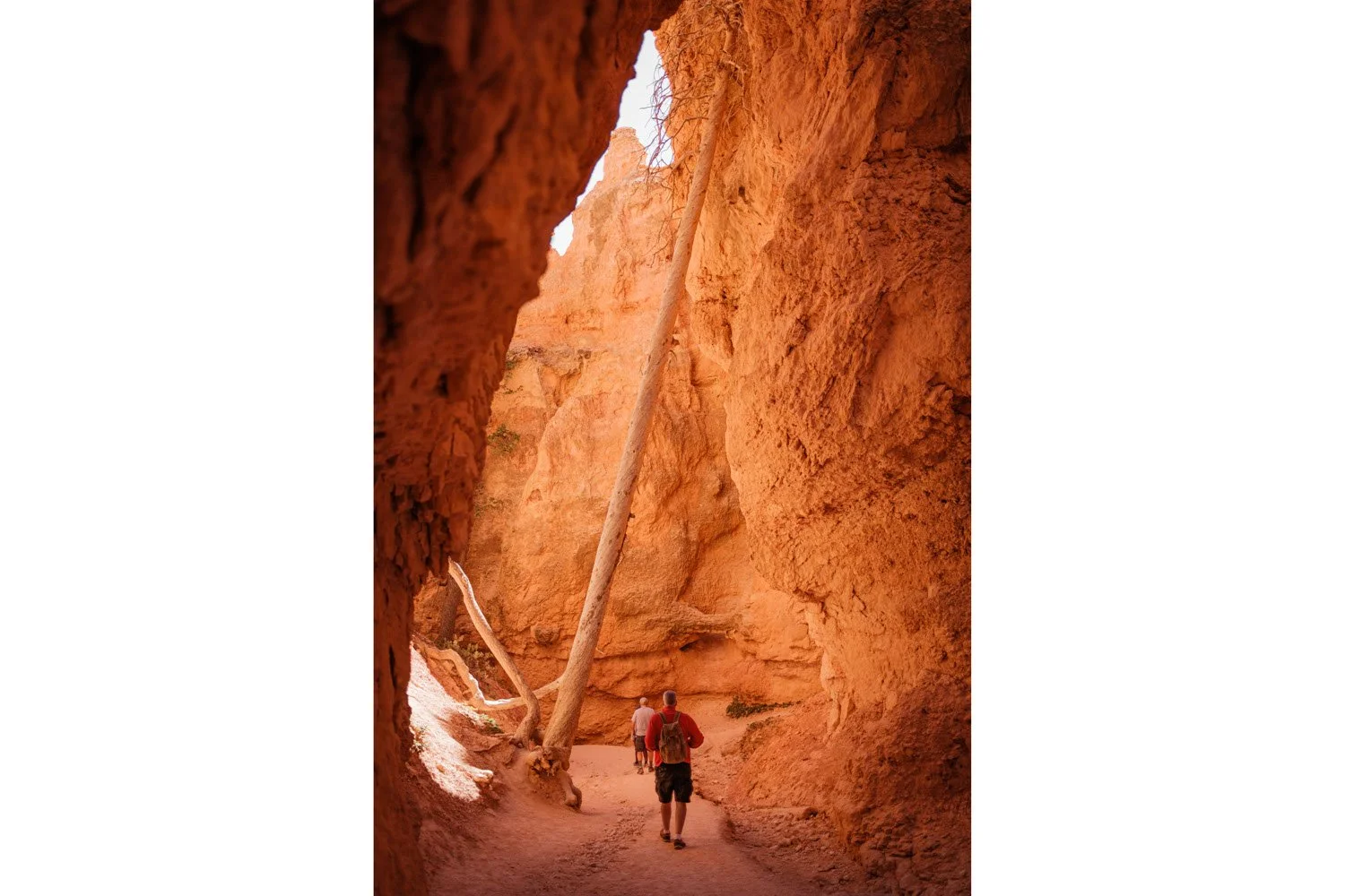
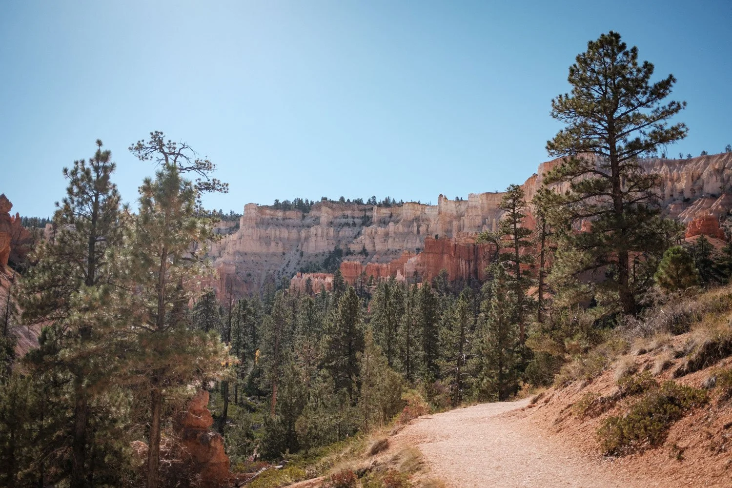
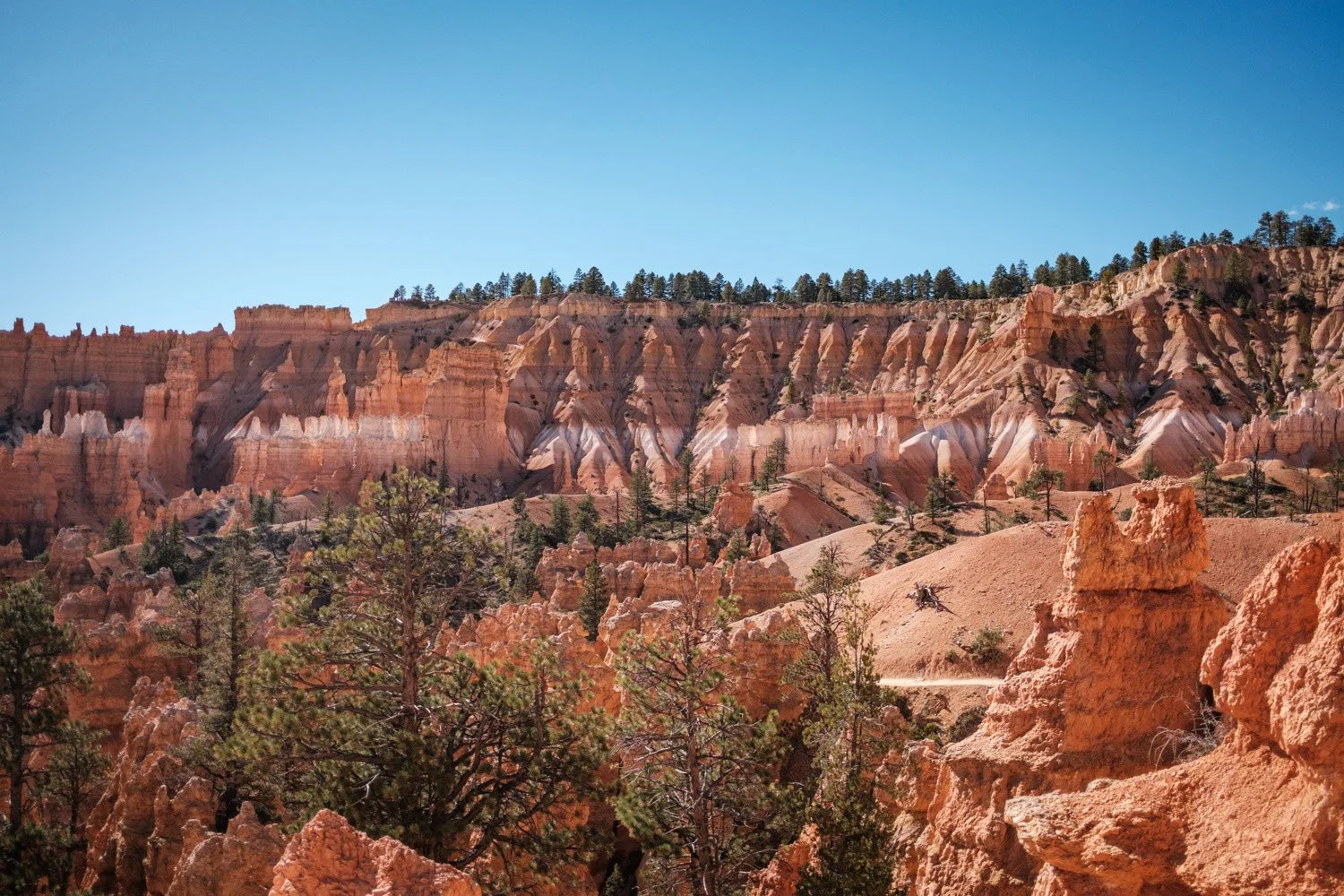
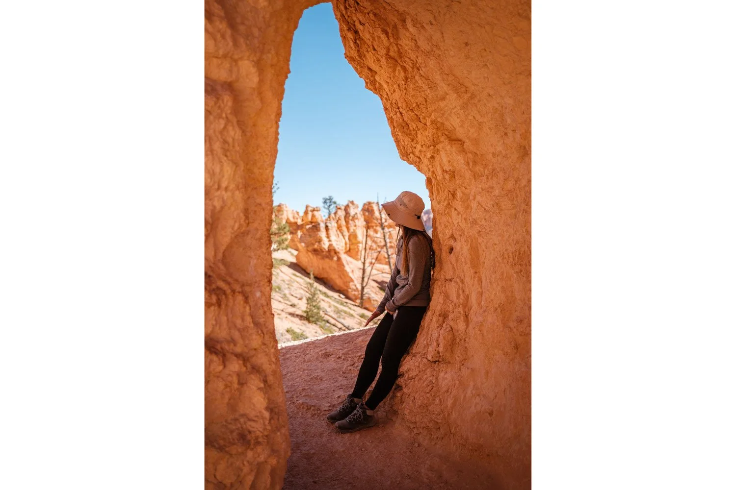
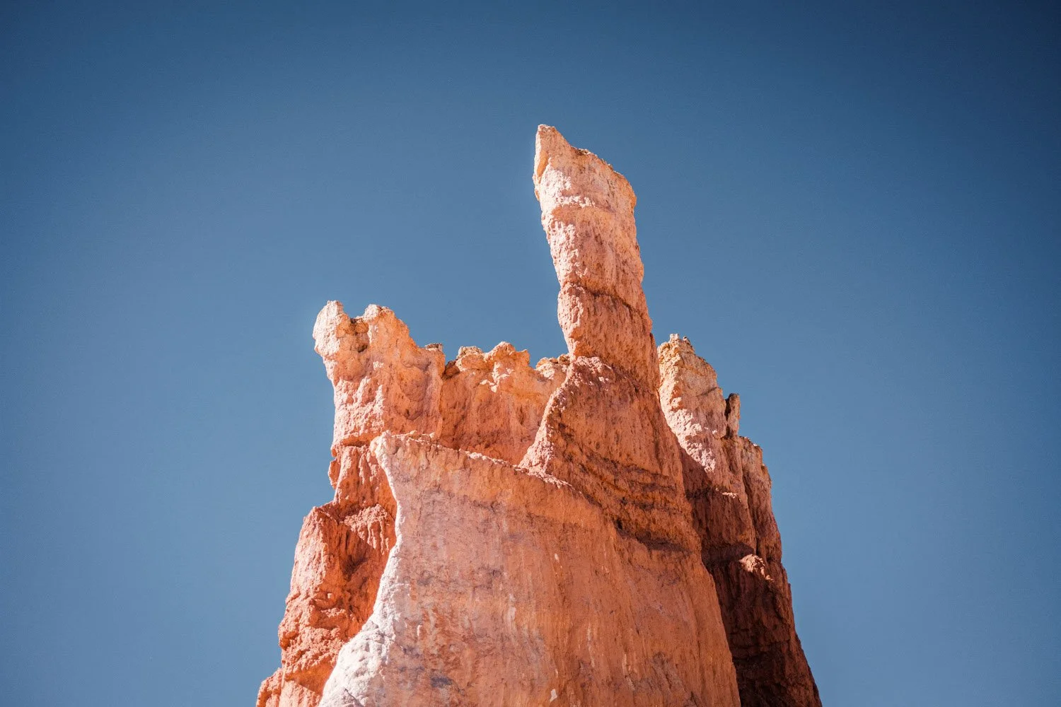
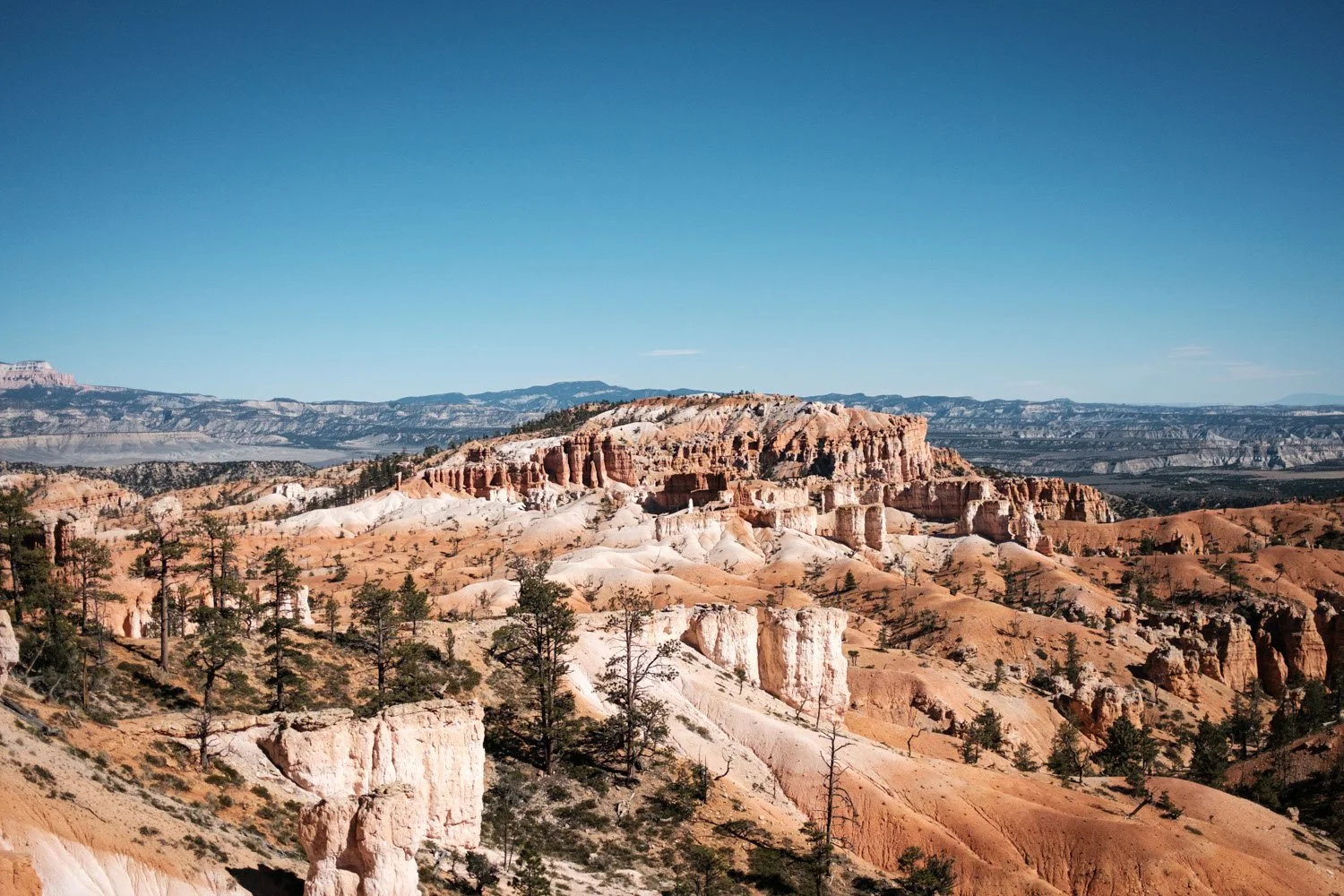
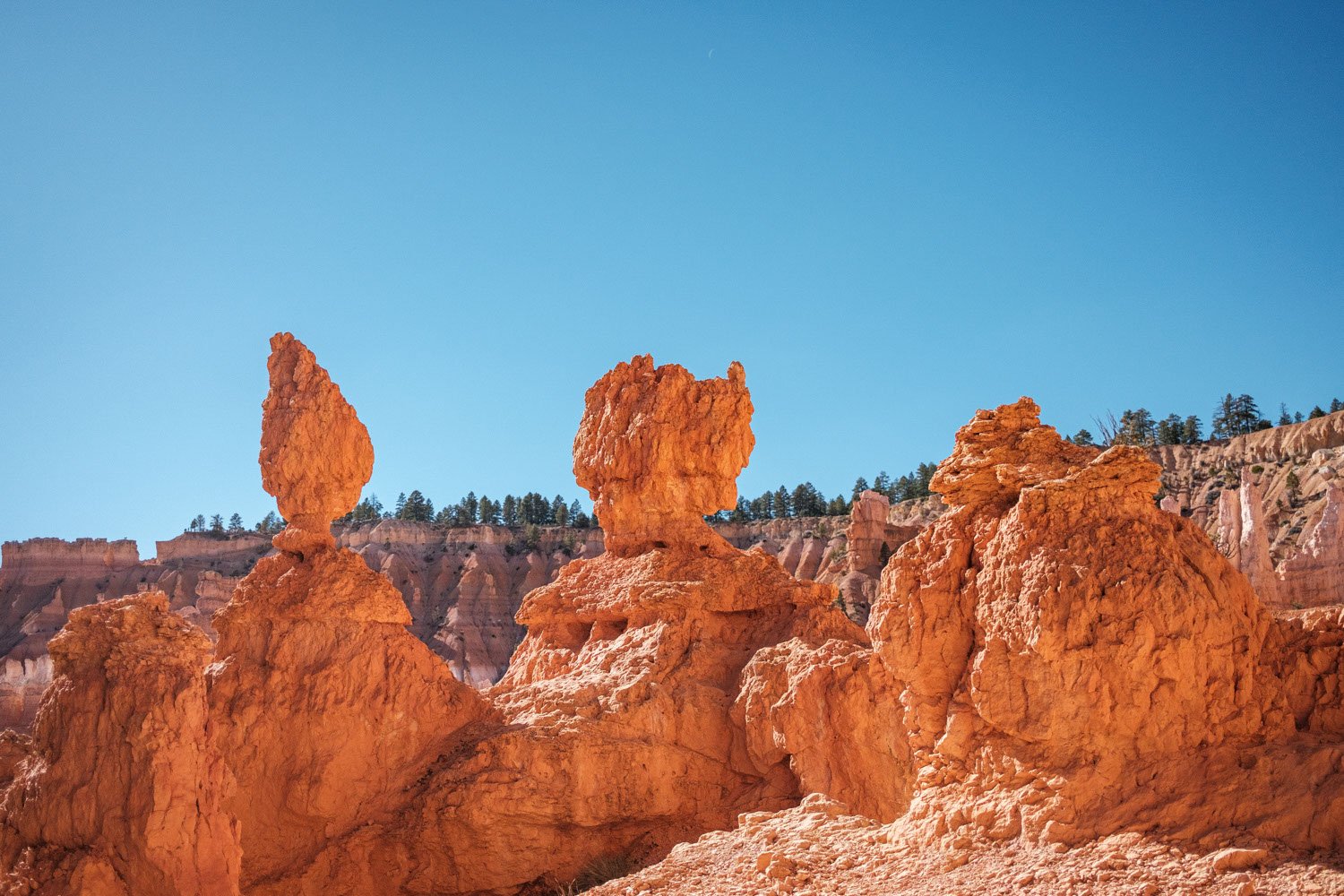
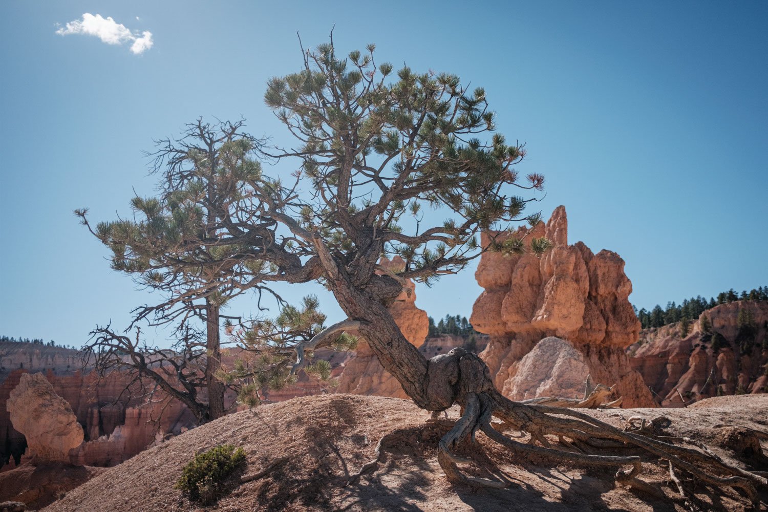
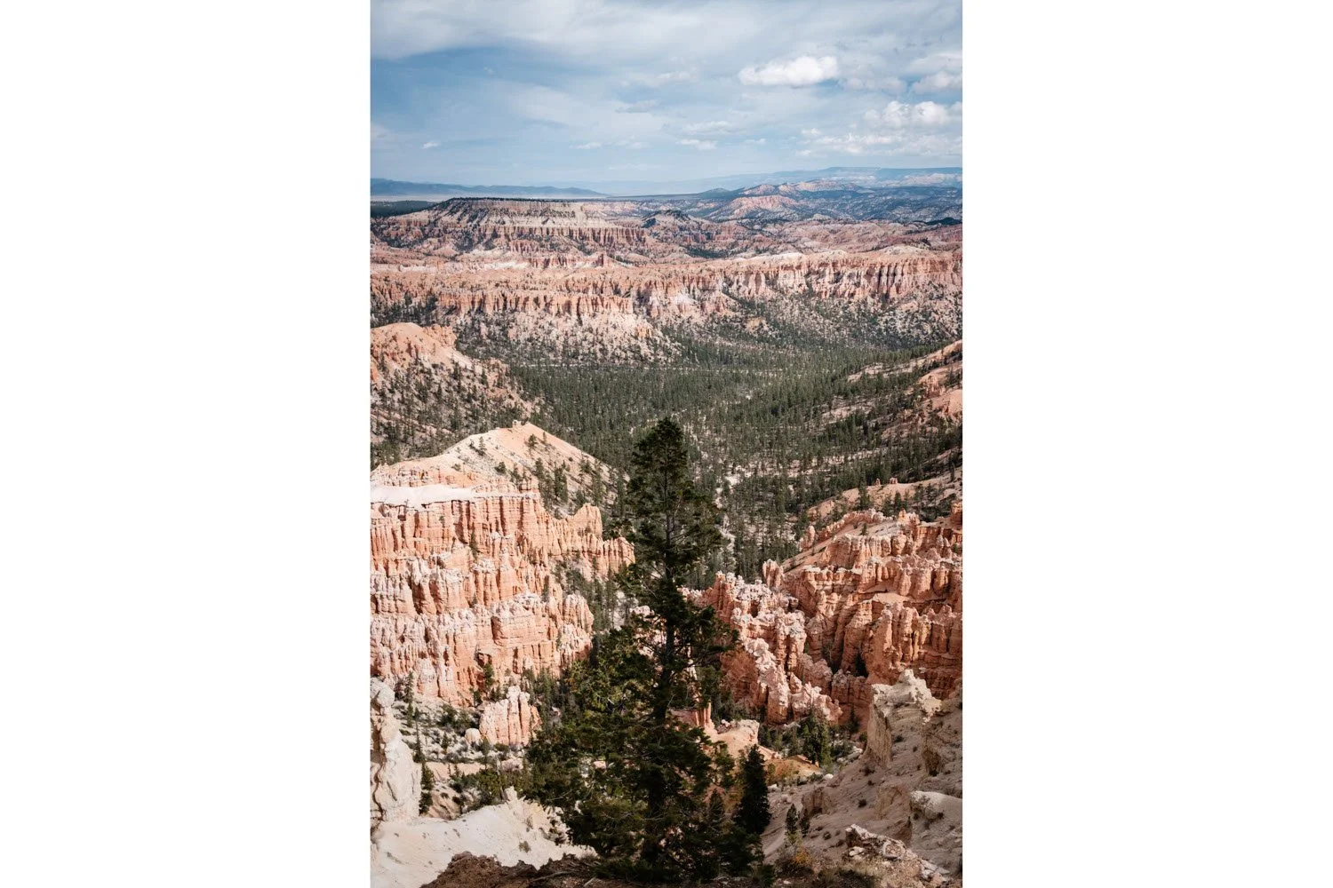
Here are some of the photos we took while hiking and exploring various trails and lookout points in Bryce Canyon National Park. Check out the hoodoos and all the contrasts in colors between the rocks, trees, and the sky!
Views from the Rim Trail near Sunset Point
Click on any photo below to see it in full size
Views from the Navaho Loop Trail
Click on any photo below to see it in full size
Views from the Queens Garden Trail
Click on any photo below to see it in full size
Views from the Upper Inspiration Point
Click on any photo below to see it in full size
